From Sky to Site: Smarter Decisions Start with Better Data
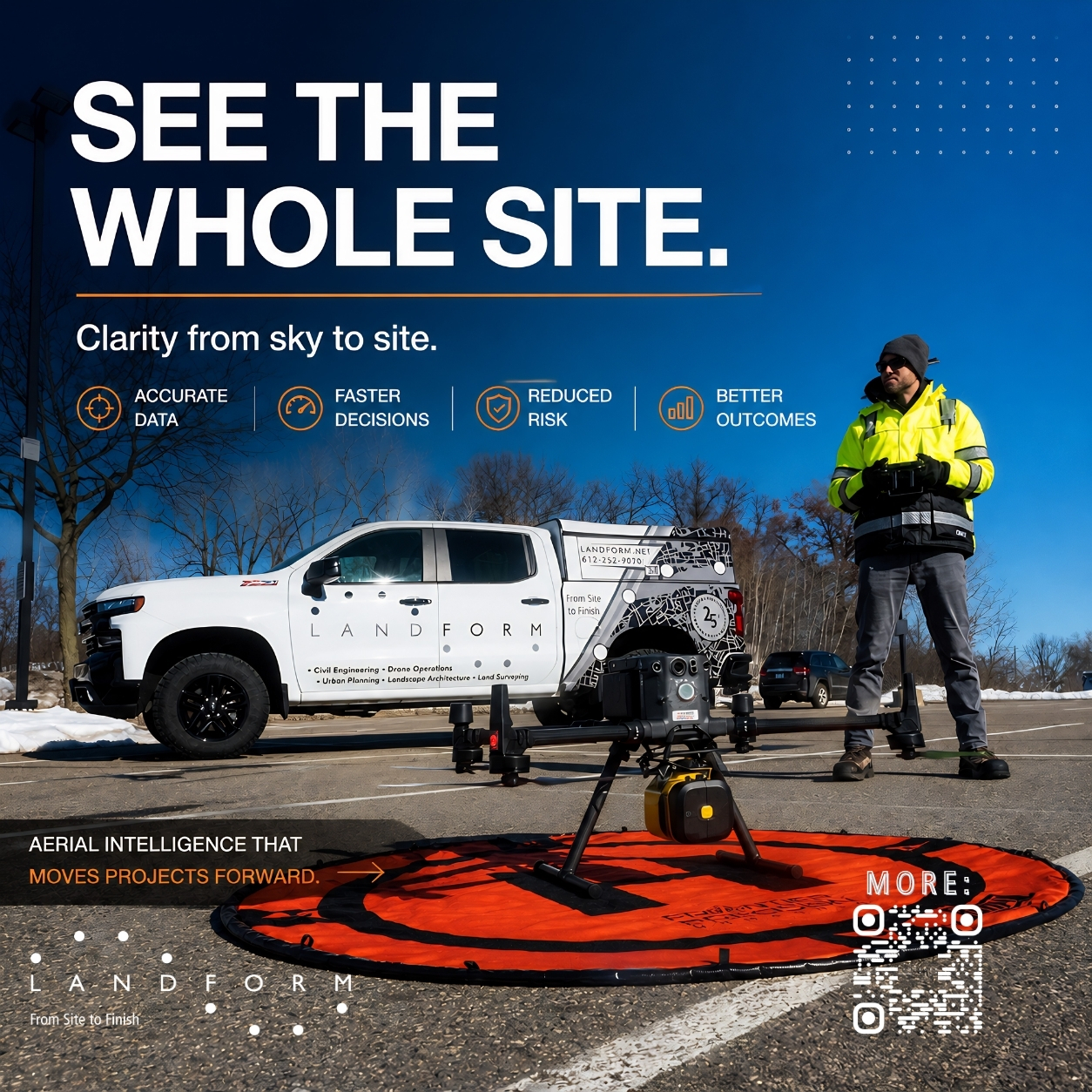 Aerial Intelligence That Moves Projects Forward
There’s a whole different perspective when you step back—and sometimes, the best way to understand a site is from a few hundred feet up. At Landform, our aerial operations team uses drone mapping, LiDAR, and high-resolution imaging to capture real-time data that helps projects move faster and smarter. From early site analysis to construction progress tracking, we’re giving clients a clear, accurate picture of what’s happening—without the guesswork.
It’s not about flashy tech—it’s about better decisions. When you can see your site with precision and context, you reduce risk, save time, and keep projects on track. If you’re looking to bring clarity to your next project (and maybe avoid a few surprises along the way), we’re ready when you are.
Contact us today, and we’ll make your next project a success from Site to Finish®.