Warehouse – Albertville
Location
Albertville, Minnesota
Client Name
Cross Engineering & Associates, Inc.
Date Completed
Ongoing
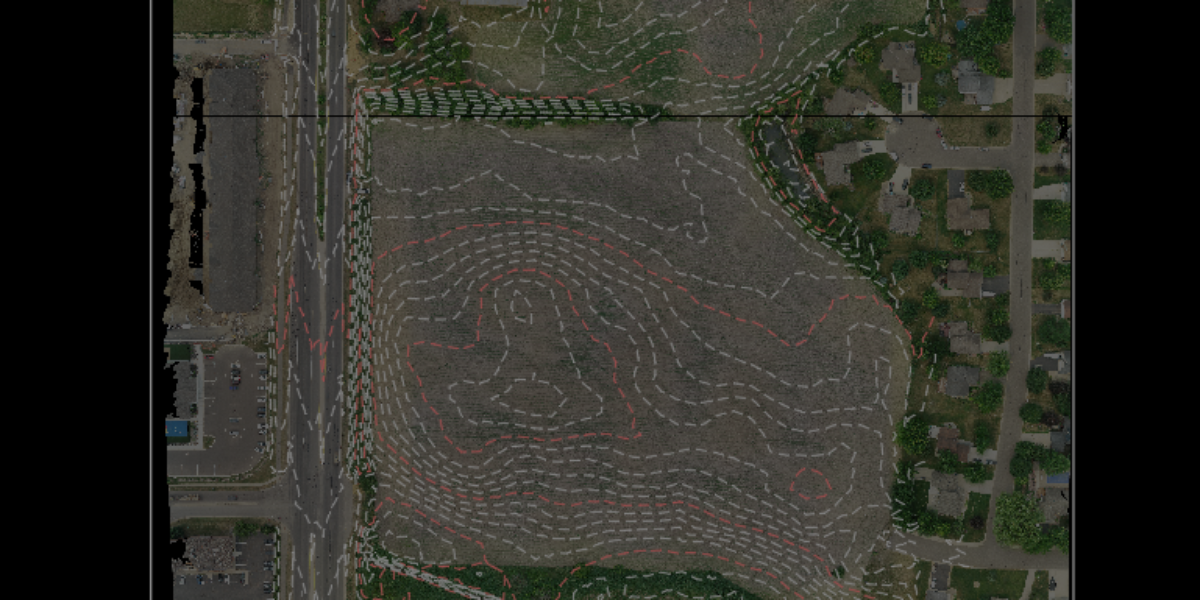
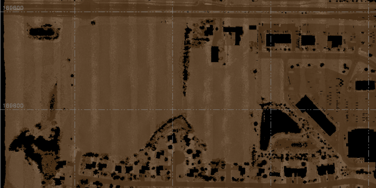
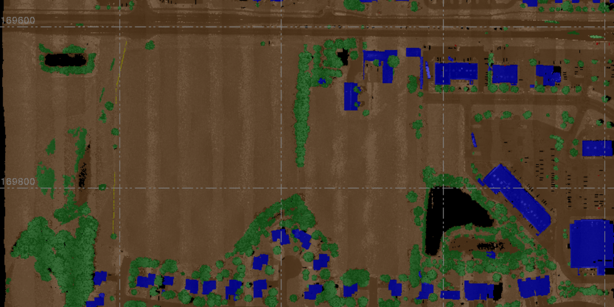
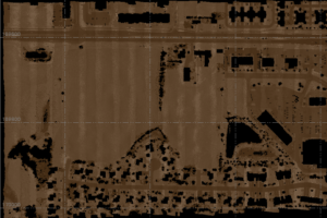
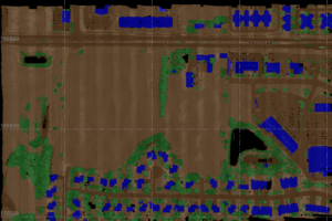
Employing a synergistic blend of advanced LiDAR technology and high-resolution aerial photography, the drone operations and LiDAR operations teams meticulously crafted detailed existing-condition models for a warehouse in Albertville, Minnesota, location. Our multi-faceted approach enabled us to achieve unprecedented accuracy and detail, which we incorporated into a comprehensive ALTA (American Land Title Association) survey. Integrating these cutting-edge technologies offers a robust platform for site analysis, land-use planning, and future development initiatives.
Not sure which Aerial Operations service is right for you? Download our easy-to-understand comparison chart, or contact us today to review a case study.

