Bathymetric Surveying
 Accurate mapping of underwater terrain is essential for both existing and constructed environments. For generations, this was completed by tedious efforts with watercraft and traditional survey equipment. Sometimes this effort was too tedious and resulted in estimations that often resulted in poor designs and performance.
Accurate measurements of the bottoms of waterbodies are necessary for the completion of effective and efficient designs, as-built surveys, verification of accurate pay quantities, and to ensure pond volumes meet the intended design.
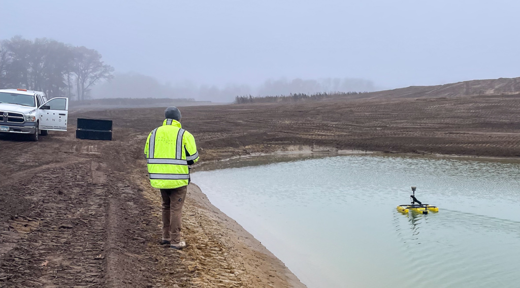
Building on Landform’s cutting-edge unmanned capabilities and survey-grade GPS expertise, our professional bathymetric survey efforts collect high-resolution depth and bottom-contour data for lakes, rivers, reservoirs, streams, channels, and stormwater basins. Using survey-grade sonar systems integrated with GNSS positioning, we capture precise underwater measurements tied to real-world coordinates. Our data supports engineering, permitting, environmental assessment, and construction planning with reliable spatial context.
Bathymetric surveys measure subaqueous elevations and geometry to reveal underwater slopes, shallow zones, silt deposits, and other submerged features. We tailor data acquisition methods to site conditions—from small ponds to large open water bodies—to ensure complete and accurate coverage. Data processing yields digital modeling integrated with our surface models, contour maps, and technical reports formatted for CAD, GIS, and design workflows. These deliverables help us visualize the underwater surface, confirm accurate pay quantities, certify volumes, and integrate the results directly into your project’s engineering and analysis tasks.
This service benefits client representatives, construction managers, civil engineers, planners, environmental consultants, agencies, and infrastructure owners who need precise depth information before design or construction. Bathymetric data enhances safety by identifying hazards, supports accurate quantity calculations for dredging or excavation, and reduces risk during water-related construction activities. It also meets the data requirements of regulatory agencies when submitting permit applications or compliance documentation. With our streamlined approach, you gain meaningful subsurface insight without unnecessary cost or delay.
Contact us to discuss your bathymetric survey needs and integrate reliable underwater mapping into your next project.