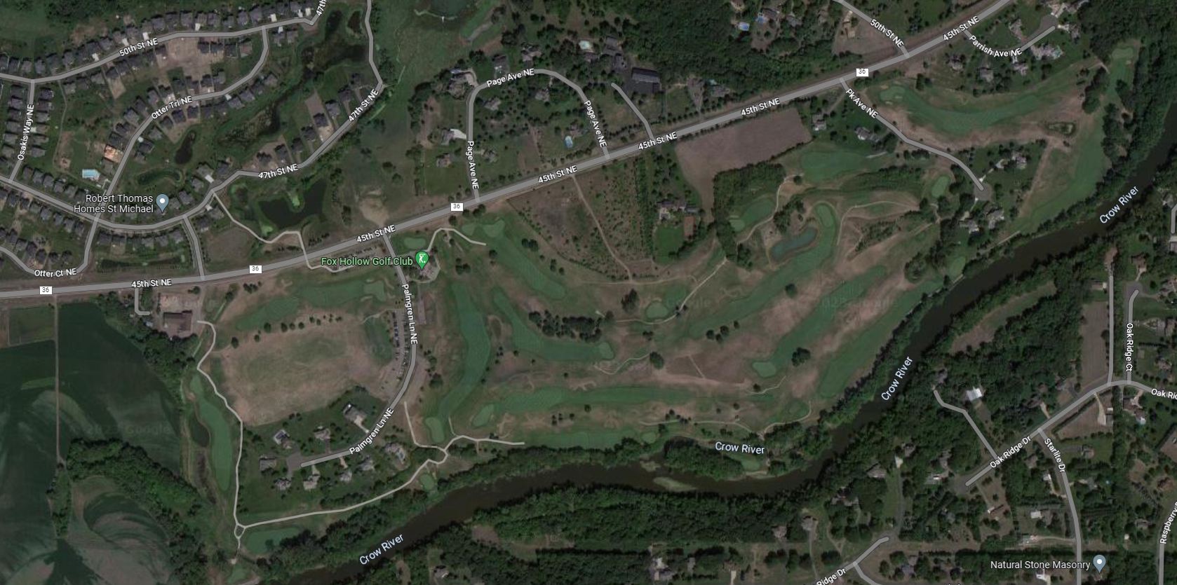
LiDAR Project – Fox Hollow Golf Course
Leveraging our advanced LiDAR technology, we executed a comprehensive topographic survey of Fox Hollow Golf Course in St. Michael, Minnesota, to deliver unparalleled spatial accuracy and terrain insights. Landform’s state-of-the-art approach offers a highly detailed, three-dimensional representation of the course’s physical environment and sets the standard for precision, scalability, and actionable data. This meticulous surveying process enables better management of course resources, optimization of landscaping plans, and enhanced gameplay experience for guests.